Flight video
Flying along the Elbe in Hamburg
Twelve seconds over the Elbe in Hamburg, recorded in Skydex. A gull flies east along the river with the city on the left and the port on the right.
About this video
- Place
- Hamburg
- Length
- 12 seconds, plays in a loop
- Picture
- 1280×720, no sound
- Recorded
- October 16, 2026
- Take-off point
- 53.5440° N, 9.9500° E
- Map data
- Google Maps · Google; Airbus; Landsat / Copernicus; Data SIO, NOAA, U.S. Navy, NGA, GEBCO
What you see
The flight follows the Elbe toward the city centre. Altona and St. Pauli line the bank on the left, with the roofs of the old town further on. On the right are the port basins, warehouses and a cruise ship moored at its terminal, and small boats move on the water below.
How it was recorded
We recorded the clip in Skydex itself, in a browser pointed at the live site. The game ran on a virtual clock so that every frame finished rendering, and the craft flew with the forward key held down. The only edit afterwards is a one-second crossfade that joins the end to the start, so the clip loops. The Google Maps logo and the map data line are part of the picture because Google asks for them in any video made from its 3D tiles.
Fly it yourself
Skydex runs in the browser and costs nothing. Press Fly there and the game opens over Hamburg. Hold W to fly forward, steer with A and D, climb with Space and descend with Shift. F hides the interface if you want the same clean view as in the video.
More flights
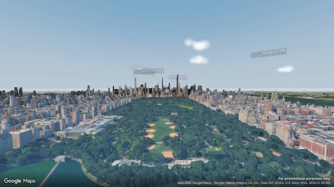 Flying over Central Park in Manhattan
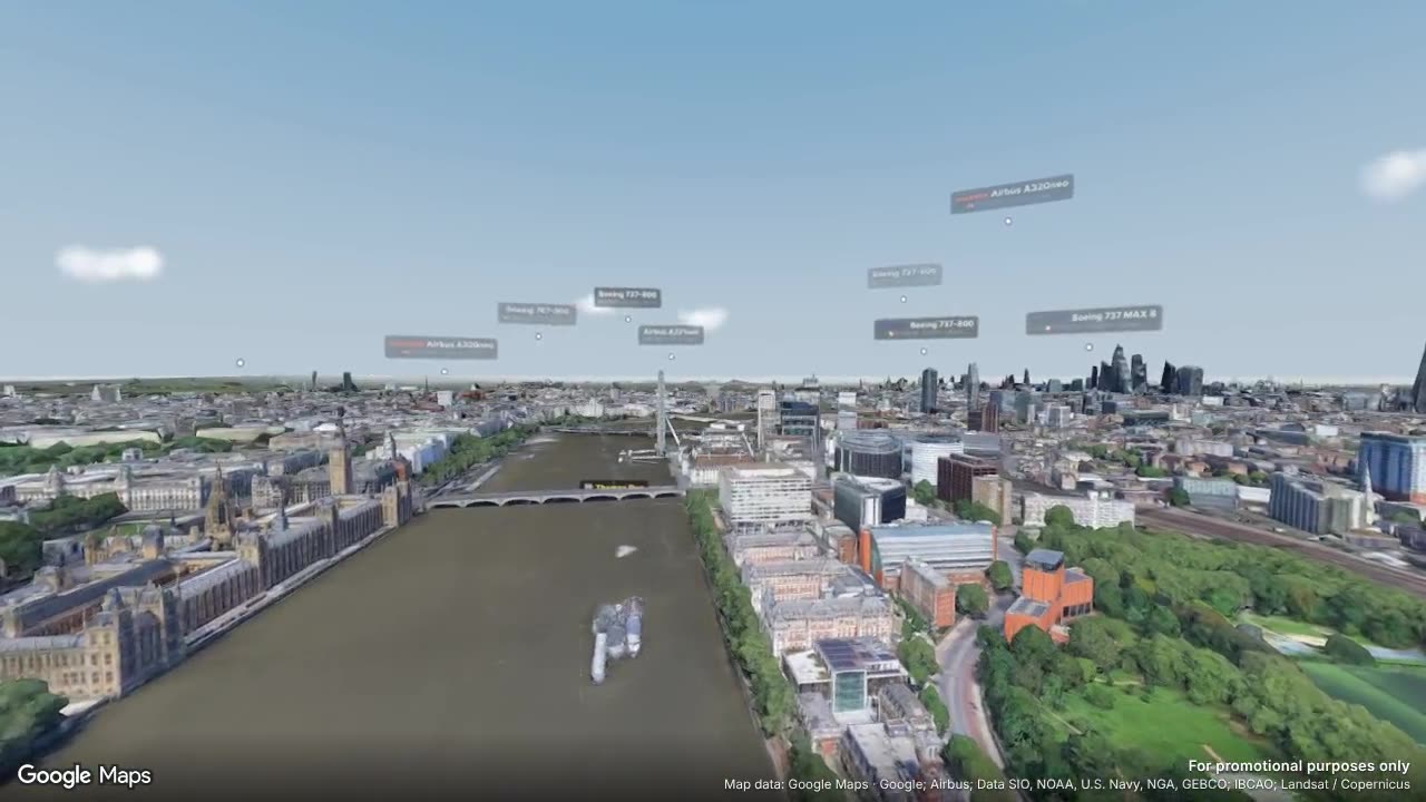 Flying over the Thames at Westminster
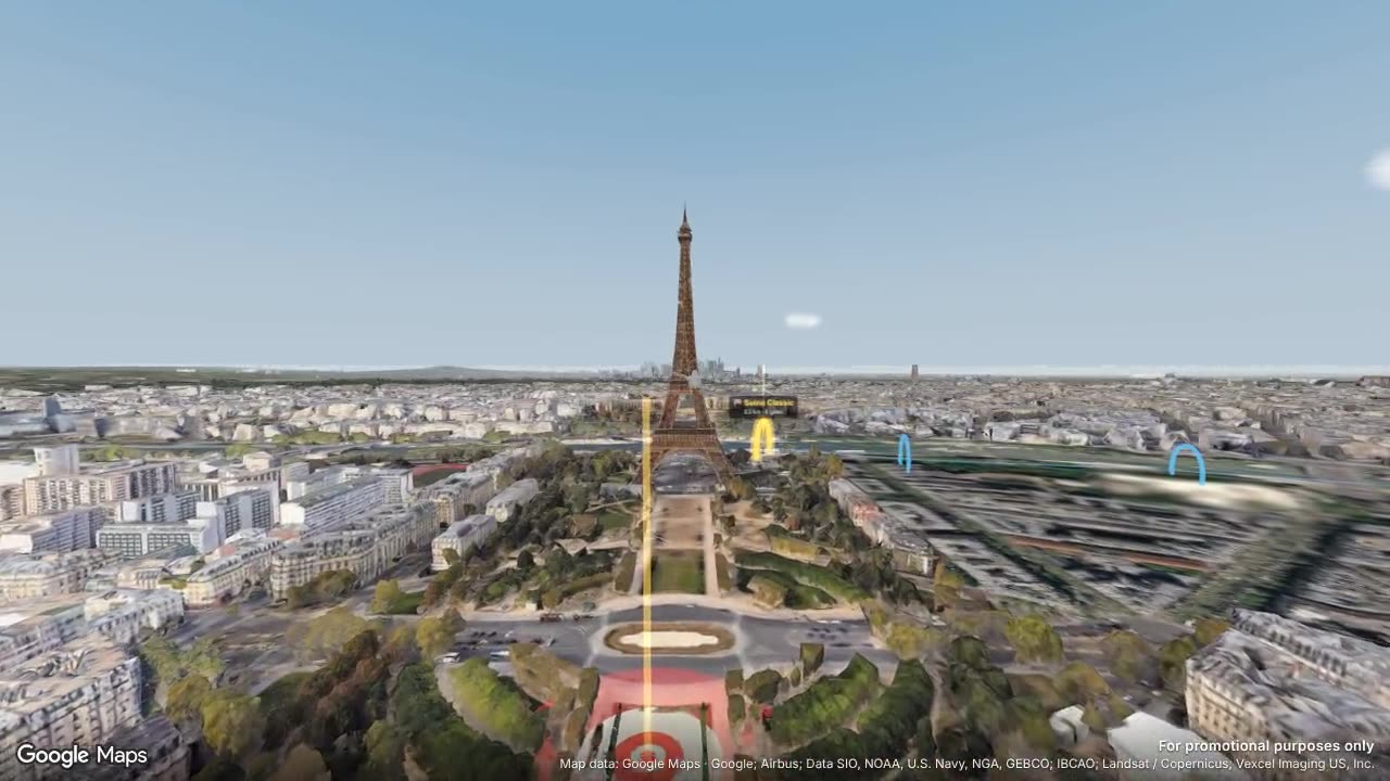 Flying down the Champ de Mars to the Eiffel Tower
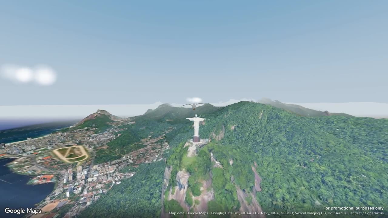 Flying up to Christ the Redeemer in Rio de Janeiro
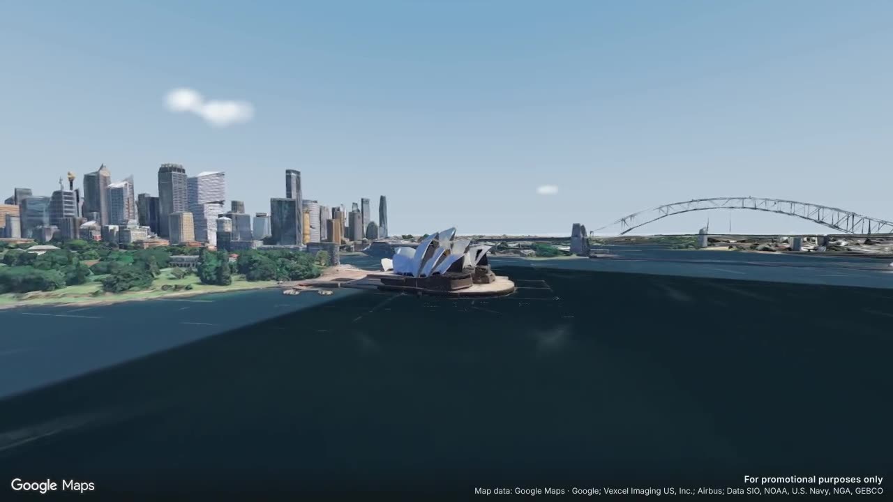 Flying low over Sydney Harbour
Questions
Where exactly was the Hamburg video recorded?
The flight starts at 53.5440° N, 9.9500° E. Fly there opens the game at that point, so you can follow the same line yourself.
Is this real gameplay?
Yes. Every clip is a recording of the game running in a browser against the live site. Nothing is added except the short crossfade at the end that makes it loop.
Are the aircraft in the sky real?
Yes. The labelled aircraft in some of the clips were real flights in the air while we recorded, heard by the Skydex receiver network over ADS-B. In the game you can fly up to them and catch them for your collection.
Where does the 3D city come from?
The buildings, terrain and water are Google's photorealistic 3D tiles, streamed while you fly. The map data credits for each clip are printed under the video and in the corner of the picture.
Do I need to install anything to fly like this?
No. Skydex runs in the browser on a computer, phone or tablet, and it is free. You can take off as a guest; signing in keeps your catches and progress.
Why is there no sound?
The clips were made for the game's start screen, where they play next to the menu on their own. A loop that suddenly starts making noise there would get in the way, so they are silent.
Will there be more videos?
Yes, as we record new places. Every new clip gets its own page here and a slot in the game's start screen.